Owens River Sunrise

Near Big Pine, CA
OWENS RIVER SUNRISE
A BRIEF SUMMARY OF OWENS RIVER SUNRISE
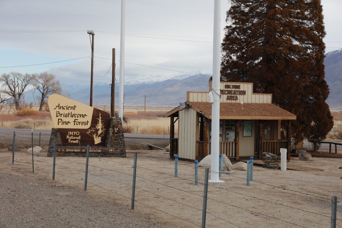
The Owens Valley, with its meandering river, endless sage and surrounding mountain ranges (Sierra, White and Inyo) was a favorite area of the legendary Galen Rowell. This amazing valley can provide days filled with great photographic opportunities and is an easy drive to Eureka Dunes, Alabama Hills, The Ancient Bristlecone Pines, Mammoth Lakes, Death Valley, Mono Lake and the Tioga Pass to Yosemite.
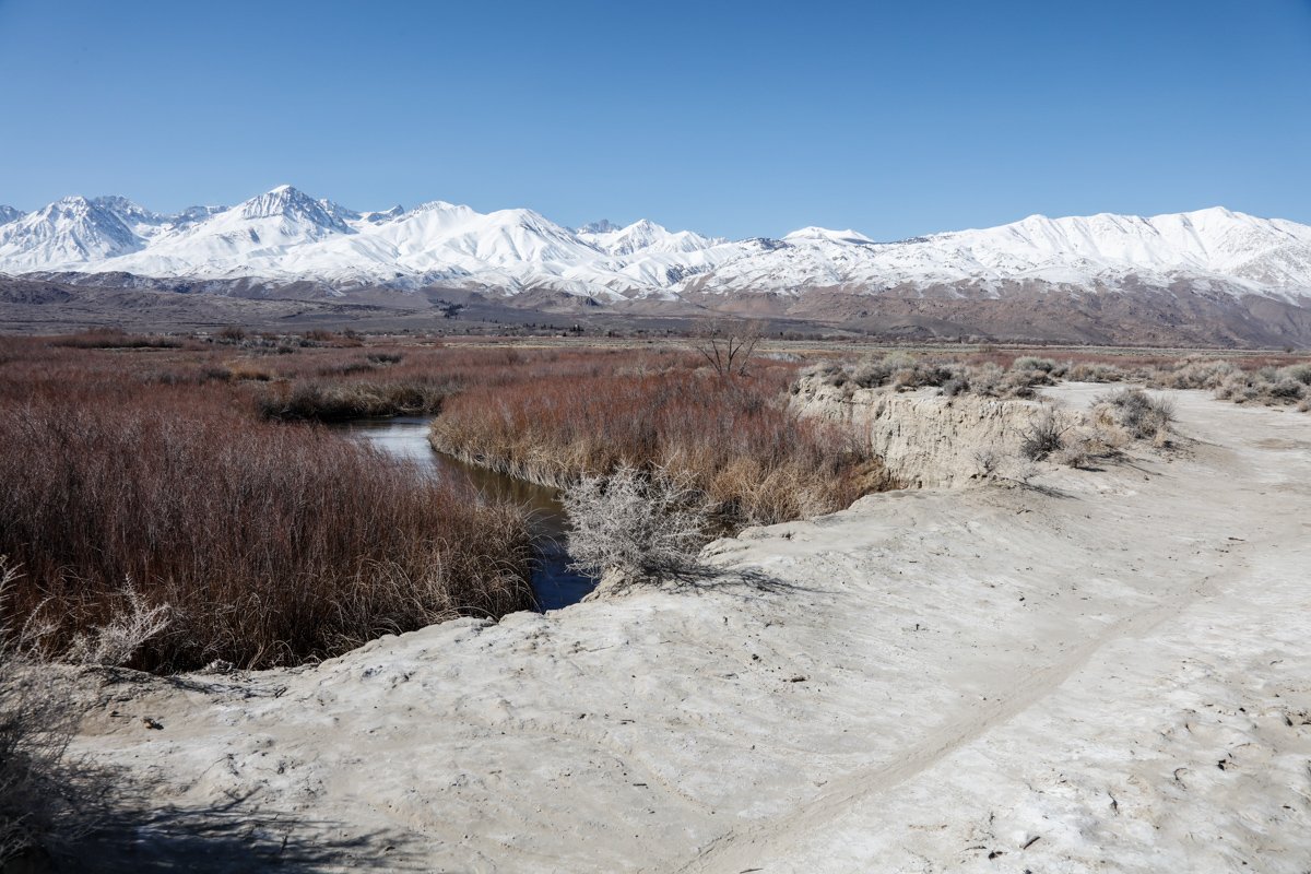
The shot above was taken at one of the many S curves along the Owens River near the little community of Big Pine, CA. After a strong snow storm hit the area, I wanted to find a location that captured the valley with the Sierra’s in the background. After driving around and hiking for a few hours, I stumbled upon this spot - which was literarily in the middle of a cow pasture. The following morning, I was able to capture this shot just as the sun peeked through the clouds - right before I received an early morning visit from a mama cow and their calf. Images and location summary by Tim Wier

Annual Subscription
Lifetime Membership
DATA POINTS INCLUDED WITH OWENS RIVER SUNRISE SUMMARY
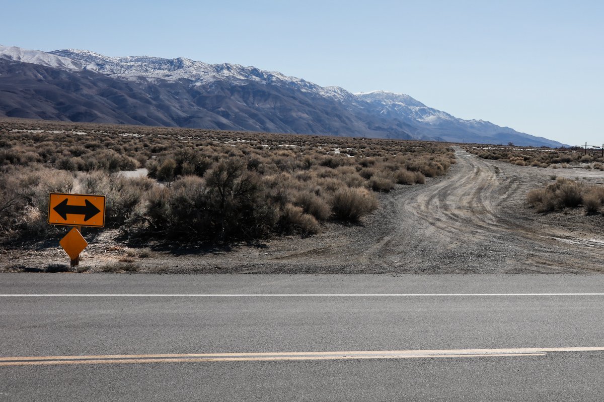
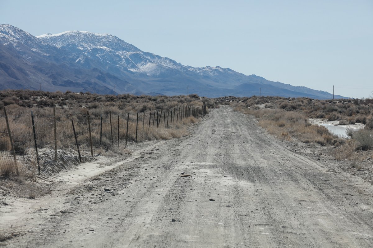
I would rate the difficulty of this trail as a 1 on a scale of 1-5 (with 5 being most difficult). The hike to this location is an easy 75 yds from the dirt road just east of Big Pine, CA. The only concern is being approached by one of the cows grazing in and around this area.
For the most part, this shot is pretty straight forward. However, it is VERY IMPORTANT to get the angle of the curve correct - or it will loose its effect. Too much or too little of the river will loose the effect of the curve. Just take your time and focus on the S in the river.
This shot is all about the light, so make sure you are ready when the sun illuminates the peaks of the Sierras ..
The shot above was taken with a 24mm lens.
4,150 Ft. Elevation
Other Resources Available with Membership
KMZ Trail File
Directions
Best Time of Day to Shoot
Best Time of Year to Shoot
Equipment Needed
Permits Required
Direction of Shot
Google Maps Birds-Eye-View
Number of Photographers to Expect
Cell Service
Overnight Lodging/Camping
Nearby Restaurants
Area Guides and Workshops
Other Resources
LOCATION SUMMARIES WRITTEN BY PROFESSIONAL PHOTOGRAPHERS