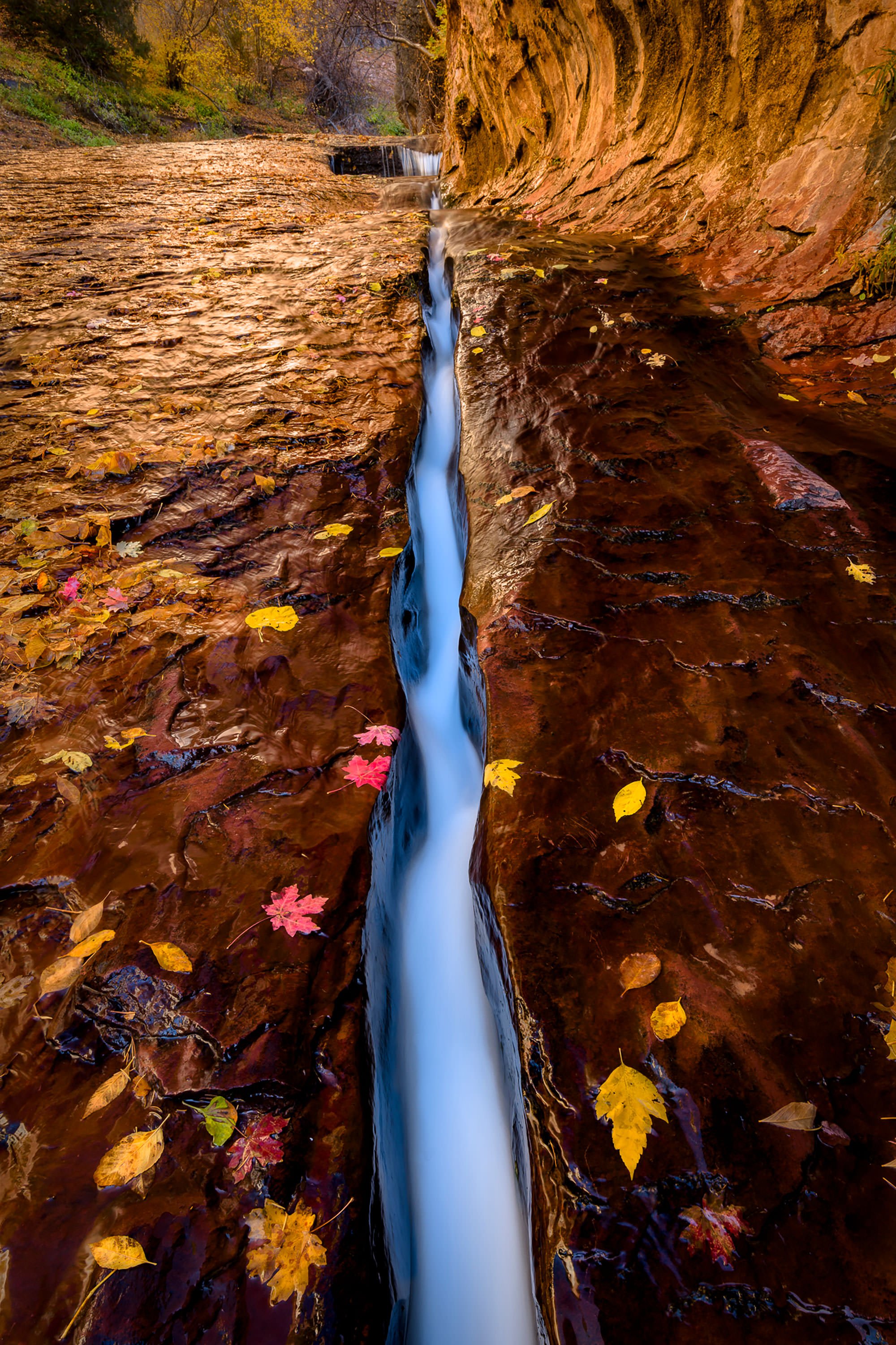
The Crack
Zion National Park, UT
THE CRACK
A BRIEF SUMMARY OF THE CRACK
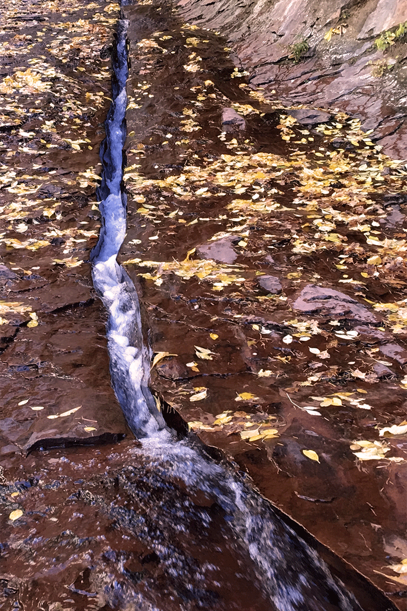
The Crack (also known as The Chute) is a simple 5-inch x 25-ft. fracture line in the red river bed, only a few hundred yards from the Subway entrance. As the water from the North Creek flows through the crack, it creates a fascinating visual contrast between the crimson rock and water.
During the fall, photographers sometimes place gold or red maple leaves next to the crack to add extra dimension. When hiking to the Subway, definitely make time to stop and photograph this simple visual work of art. This is not as easy as it looks, so make sure you read the special nuances of the shot below.
The Crack is located toward the very end of the grueling 4.5-mile hike (Left Fork North Creek - Subway) through the Kolob Terrace in Zion National Park. The hike is not for the weak or the faint of heart, but at the end you are rewarded with 3 GREAT photographic opportunities (Archangel Fall, the Crack, and the iconic Subway).
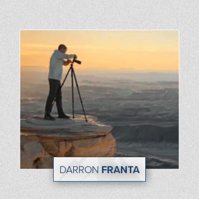
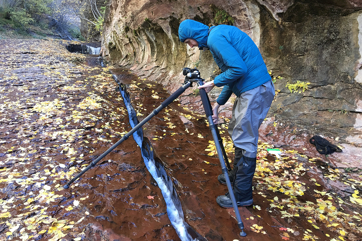
Image by Darron Franta @ www.frantaphotography.com and location summary by Tim Wier

Annual Subscription
Lifetime Membership
DATA POINTS INCLUDED WITH THE CRACK SUMMARY
I would rate the difficulty of this trail as a 4.5 on a scale of 1-5 (with 5 being most difficult).
The trail to Archangel Falls is a non-technical hike, but it is long (9 miles round trip) and stressful. The hike crosses a creek multiple times and climbs over and around MANY large rocks and boulders. The worst part(s) of the hike are toward the beginning (and the end): as you hike down (and then up on the return) a 500ft. vertical trek with many steep and rocky switchbacks to the creek below. The total roundtrip will take 6-9 hours (those who abandon the idea of keeping their feet dry early on the hike, tend do the hike in less time), so I would suggest starting the hike as close to first light as possible.
This hike is not for everyone and should not be attempted unless you are in good to great shape and have good coordination. Once you finish the hike you are exhausted, worn out, triumphant, and feel like you have achieved a mental “badge of honor.”
This Crack is a simple fracture line in the red river bed of the North Creek just before entering the Subway. It is about 5 inches wide and 25 feet long. Most images here are shot directly above the Crack where you focus on the water flow. Seems easy, but it’s really not. Here’s why.
The red rock you are standing one is in a constant stream of water, with micro algae growing on the rock. Because of this, is rock is VERY, VERY, VERY slick which makes it VERY EASY to slip. If you slip and your camera falls against the red rock, it will turn a great day into a very bad day. BE VERY CAREFUL.
To capture the water flow, you need a shutter speed of at least a ½ second, which requires a tripod. The problem with using a tripod is you are shooting straight down. Unless you are high enough, one of the tripod legs will be in your shot. If you get your tripod too high, you can’t see through the viewfinder. And you’re dealing with all of this while standing on a very, very slick surface.
I would suggest bringing a tripod with a horizontal extension if you have one.
You can use focal lengths between 24-50mm, as long as the lens can focus close (not necessarily a macro). If you shoot directly above the Crack, you will be focusing from between 1 and 2 feet above the rock surface. When hiking the Subway, you want to pack only the minimal amount of equipment. For all 3 shots: Subway, Archangel Falls and the Crack - you can get away with a single 16-35mm lens.
The above shot was taken with a 24mm lens
5,287 Ft. Elevation
Other Resources Available with Membership
KMZ Trail File
Directions
Best Time of Day to Shoot
Best Time of Year to Shoot
Equipment Needed
Permits Required
Direction of Shot
Google Maps Birds-Eye-View
Number of Photographers to Expect
Cell Service
Overnight Lodging/Camping
Nearby Restaurants
Area Guides and Workshops
Other Resources
LOCATION SUMMARIES WRITTEN BY PROFESSIONAL PHOTOGRAPHERS