Haystacks on County Rd #9

Near Ridgway, CO
HAYSTACKS ON
COUNTRY RD #9
A BRIEF SUMMARY OF HAYSTACKS ON COUNTRY RD #9
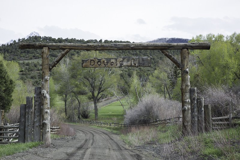
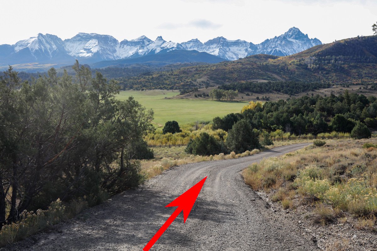
Just west of Ridgeway are three great country roads that take you through some of the most beautiful ranchland in southwest Colorado. County road 5, 7 and 9 are public access roads that run through the majestic 16,000 acre Double RL Ranch (owned by Ralph Lauren) up to the Uncompahgre Plateau.
The combination of beautiful farmland, hay bales, colorful hills, and the grandeur of Mt. Snuffles make for stunning landscape opportunity.
Images and location summary by Tim Wier

Annual Subscription
Lifetime Membership
DATA POINTS INCLUDED WITH HAYSTACKS ON COUNTRY RD #9 SUMMARY
I would rate the difficulty of this trail as a 2 on a scale of 1-5 (with 5 being most difficult). The location of this shot is fairly simple 1 mile drive on a dirt road and then an easy 20 ft walk. The road is a bit bumpy at times, but otherwise not very difficult. If the road is wet/muddy from a recent rain or snow the 1 mile drive can be difficult or even impassible.
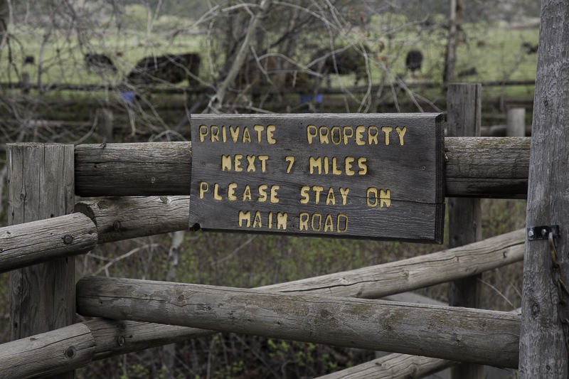
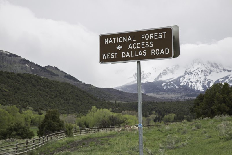
Please note, the dirt road that is county road CR9 is public property and can be used for taking pictures and traveling through the ranchland. However, the land on either side of the dirt road is private property and the owner, Ralph Lauren (Double RL Ranch) takes this seriously. I have been reminded of this by ranch hands many times.
This is mainly a straight forward shot, but there are different views based on where you stand along the road. I would suggest scouting the location several hours before sunset to find your composition(s). What makes this shot special is when the hay bales are out – to give it that wonderful country look. If you are in the area, you may want to scout out the location to see if there are hay bales or not.
For most people, this shot is best as a grand vista, which would require a wide angle lens (24-35mm). The shot above was done as a 3 horizontal pano stitch with a 50mm lens to capture as much detail as possible.
7,828 Ft. Elevation
Other Resources Available with Membership
KMZ Trail File
Directions
Best Time of Day to Shoot
Best Time of Year to Shoot
Equipment Needed
Permits Required
Direction of Shot
Google Maps Birds-Eye-View
Number of Photographers to Expect
Cell Service
Overnight Lodging/Camping
Nearby Restaurants
Area Guides and Workshops
Other Resources
LOCATION SUMMARIES WRITTEN BY PROFESSIONAL PHOTOGRAPHERS