THE CUTLER COAST
Cutler Coast Public Reserved Land, ME
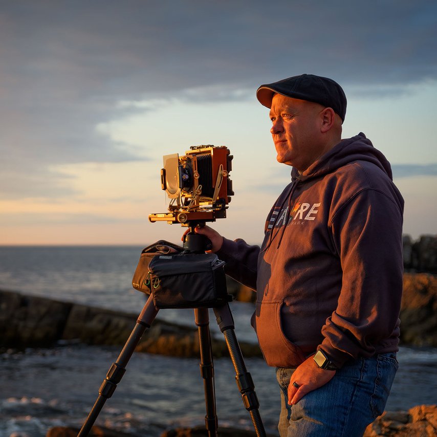
Image by Rick Berk @ www.rickberk.com
The Cutler Coast Public Reserved Land offers 12,000 acres of wilderness right on the Bold Coast of Maine featuring nearly 11 miles of trails, with 4.5 miles of trails along the headlands overlooking the Bay of Fundy. The views are some of the most spectacular along the Maine coast. Located about 2 hours from Bar Harbor and Acadia National Park, the Cutler Coast Preserved Lands is Maine Untouched - wild, rocky, and beautiful.
Due to the extensive hiking required, this area is less photographed than Acadia National Park, but is no less beautiful. You're likely to encounter more hikers on the trail than other photographers. There are five campsites available on the trail on a first come, first served basis. There are no fees required for the use of the preserve.

Photos and location summary by Rick Berk
Trail Difficulty - DIFFICULT
On a scale of 1 to 5, with five being the most difficult, I rate this trail a 3.5. Various trail rating systems rate the trail moderate to advanced, so be aware this isn't a walk in the park. From the parking area, you'll walk through the forest with many wood boardwalks in varying states of repair or disrepair. The trail is rocky and heavily covered in tree roots, with some sections of packed dirt and needles. The trail will be extremely muddy in places after heavy rains as well. At .4 miles, you reach a junction for the Inland Trail and the Coastal Trail. The Inland Trail veers right and travels through a bog and wetlands, which at times can be flooded and difficult to traverse. Staying to the left at the junction puts you on the Coastal Trail. Another mile down the trail and you reach the cliffs and the beginning of 4.5 miles of trails along the headlands.
The trail can be hiked three ways. You can follow the coastal trail out and back, which will make this about a 7 mile round trip. You can hike the Black Point Brook Loop, which is a 7 mile loop, the return being over the Inland Trail through the bog. Finally, you can follow the Fairy Head Loop, which covers the entire 4.5 miles of headlands along the cliffs with stunning water views, with the return through the bog over the Inland Trail. The Fairy Head Loop is just over 11 miles long. The location of this image approximately 4 miles along the Coastal Trail.
What Lens(es) Do You Need
Wide angle to standard length zooms work well here. There is some wildlife, particularly osprey and eagles, that may be seen as well if you have a telephoto lens. However, it's important to keep in mind that with the extensive hiking, a lighter pack is better, so it's wiser to choose just one or two lenses to reduce weight if possible.
The above image was taken at 52mm.
Nuances of Shot
There are many opportunities to make photos along the Coastal Trail, and even on the Inland trail. For this particular photo, fog was moving in off the water, adding some mystery to the coastline. I chose to go with a long exposure of 25 seconds here, using a polarizer to reduce glare off the surface of the water, and to eliminate some of the haze caused by the …
Join Today
To View Full Location Summary
START YOUR NEXT ADVENTURE
2 Ways to Join
Annual Subscription
Lifetime Membership
Our location summaries are written by experienced photographers - with practical information for planning your adventure - and with tips to getting the best shot


GPS Coordinates & Elevation
150 Ft. Elevation
Directions
CLICK HERE to get driving directions to From Bangor, ME - Take State Rte 9 for 65 miles until you get to Wesley. From Wesley take ME-192 S for 18.2 miles to Machias. From Machias, drive on US-1 N for 3.5 mi until you reach East Machias, ME, from there turn right onto Willow St for 0.1 miles and then turn right onto Water St and travel 0.2 miles until you hit Turn right onto ME-191 S. On ME-191 S, turn right and drive 16.5 miles and the small parking area will be on your right.
From Machias, ME - drive on US-1 N for 3.5 mi until you reach East Machias, ME, from there turn right onto Willow St for 0.1 miles and then turn right onto Water St and travel 0.2 miles until you hit Turn right onto ME-191 S. On ME-191 S, turn right and drive 16.5 miles and the small parking area will be on your right.
I would strongly suggest downloading a GPS / hiking app to your smart phone and plot the GPS coordinates. The GPS / hiking apps I use are Alltrails or Gala GPS. You can download the KMZ trail file ABOVE to help from getting lost.
Equipment Needed
No need for any special photography equipment. However, a polarizing filter will help with the shot.
Weather
Download KMZ Trail File
Click Here to download the KMZ file for this location.
START YOUR NEXT ADVENTURE