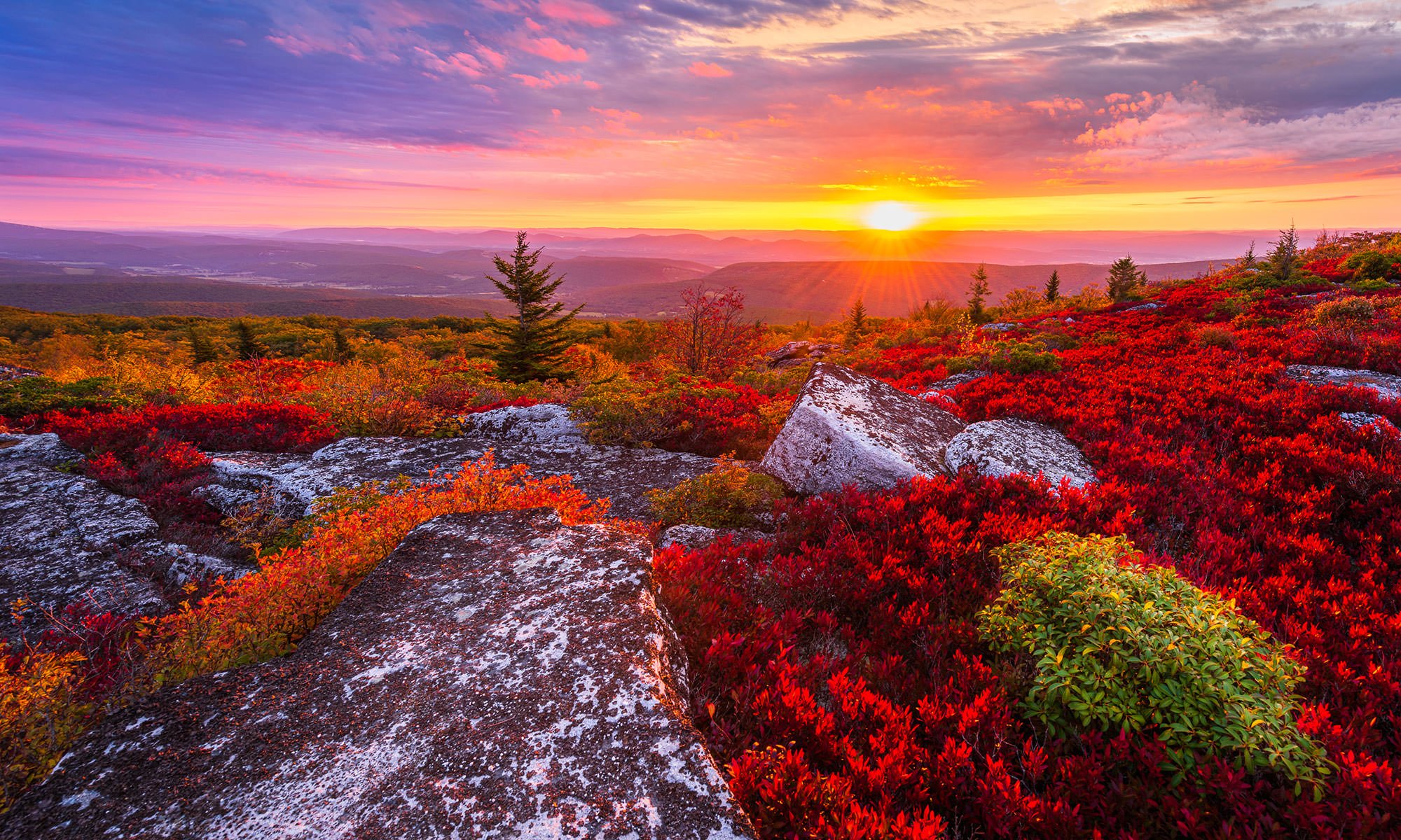
DOLLY SODS OVERLOOK
Bear Rocks Preserve, Dolly Sods Wilderness, W.Va.
Image by Darron Franta @ www.frantaphotography.com
In the Allegheny Mountains of West Virginia’s Monongahela National Forest, there is a rocky, high-altitude plateau with sweeping vistas and lifeforms normally found much farther north in Canada. Indeed, time stands still high above the Canaan Valley in the unique micro-climate of the Dolly Sods Wilderness Area’s Bear Rocks Preserve.
At 4,123 ft. above sea level this haunting landscape is situated atop the highest plateau east of the Mississippi River. Known locally as "the Sods," this flat, windswept expanse of subalpine heath barrens is characterized by stunted red spruce, ancient sphagnum bogs littered with Huckleberry and Blueberry bushes, and beautiful, forlorn wind-carved boulders.
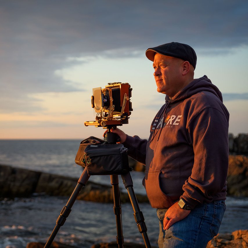
Photos and location summary by Darron Franta
Trail Difficulty - EASY
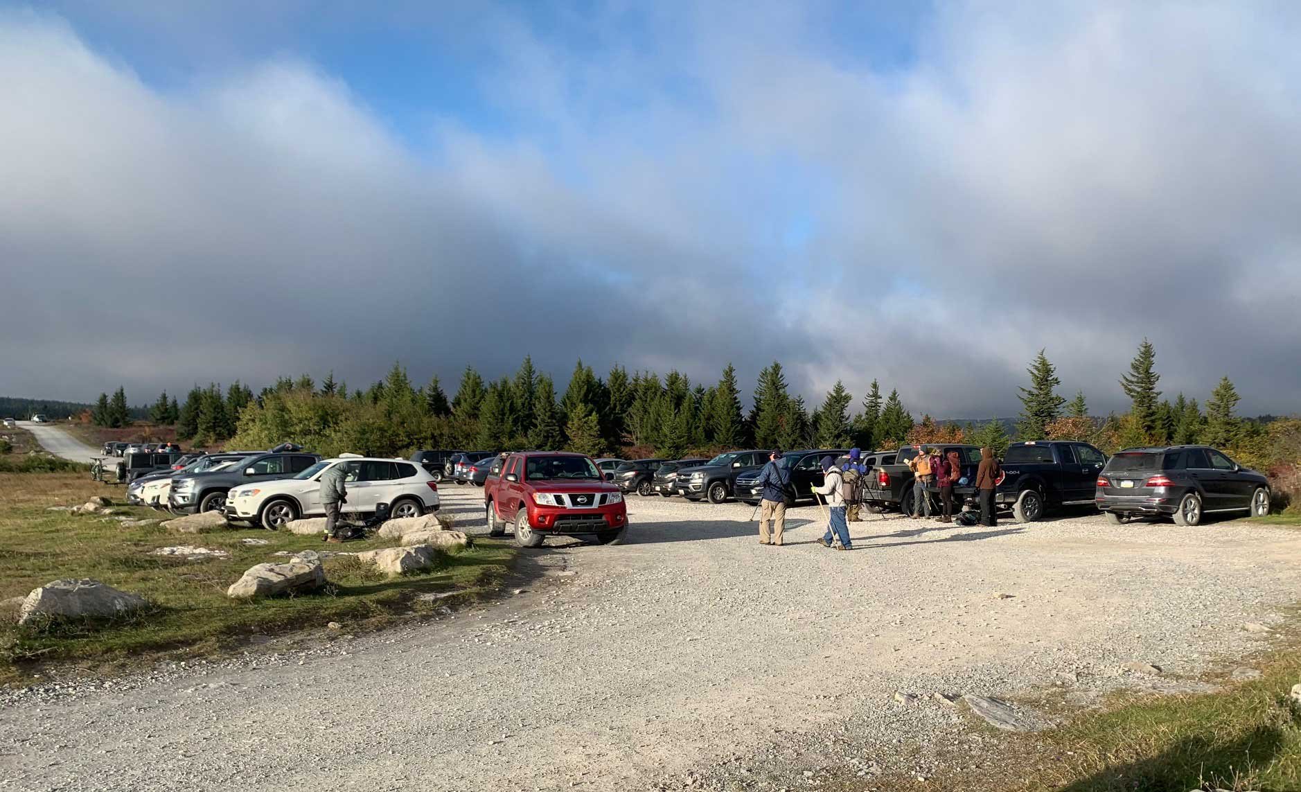
I would rate the difficulty of this trail as a 2 on a scale of 1-5 (with 5 being the most difficult). Once you park your car, you will have anywhere from a five to thirty-minute walk, depending upon where you want to set up. Your walk will take you through the heath barrens and berry bushes on well-worn trails that you will need to follow. Due to the narrowness of the trails, I would recommend wearing pants, even in the summer months.
If there has been rain, conditions along trails in the heath barrens and bogs will likely be mushy. Depending on your level of fitness, you can avoid scrambling on top of the large boulders, or you can choose to make your way on top of them. Locations to shoot are everywhere.
What Lens(es) Do You Need
This location is primarily an ultra-wide to medium telephoto spot (depending on the composition you are seeking. However, you may want to bring along a longer telephoto lens as well.
The image above was taken with a 14mm lens
Photography Tips
The Bear Rocks Wilderness is a large area and there are numerous locations all along the ridge to shoot from. My advice is to allow yourself time to visit the area the day before you plan to shoot and thoroughly scout the area for compositions that interest you. Compositions can include spruce trees, bushes, rocks, and/or overhangs. If you plan to shoot sunset, make sure you focus on scouting westerly facing compositions (away from the ridge). Pay close attention to the weather forecasts for the area and you should be prepared for dealing with strong wind gusts.
Use The Photographer's Ephemeris for this location. TPE is a very valuable tool for landscape photographers to determine the direction of the sunrise/sunset & moonrise/moonset from any place on earth on any day (past and future).
Join Today
To View Full Location Summary
START YOUR NEXT ADVENTURE
2 Ways to Join
Annual Subscription
Lifetime Membership
Our location summaries are written by experienced photographers - with practical information for planning your adventure - and with tips to getting the best shot


GPS Coordinates & Elevation
4,000 Ft. Elevation
Directions
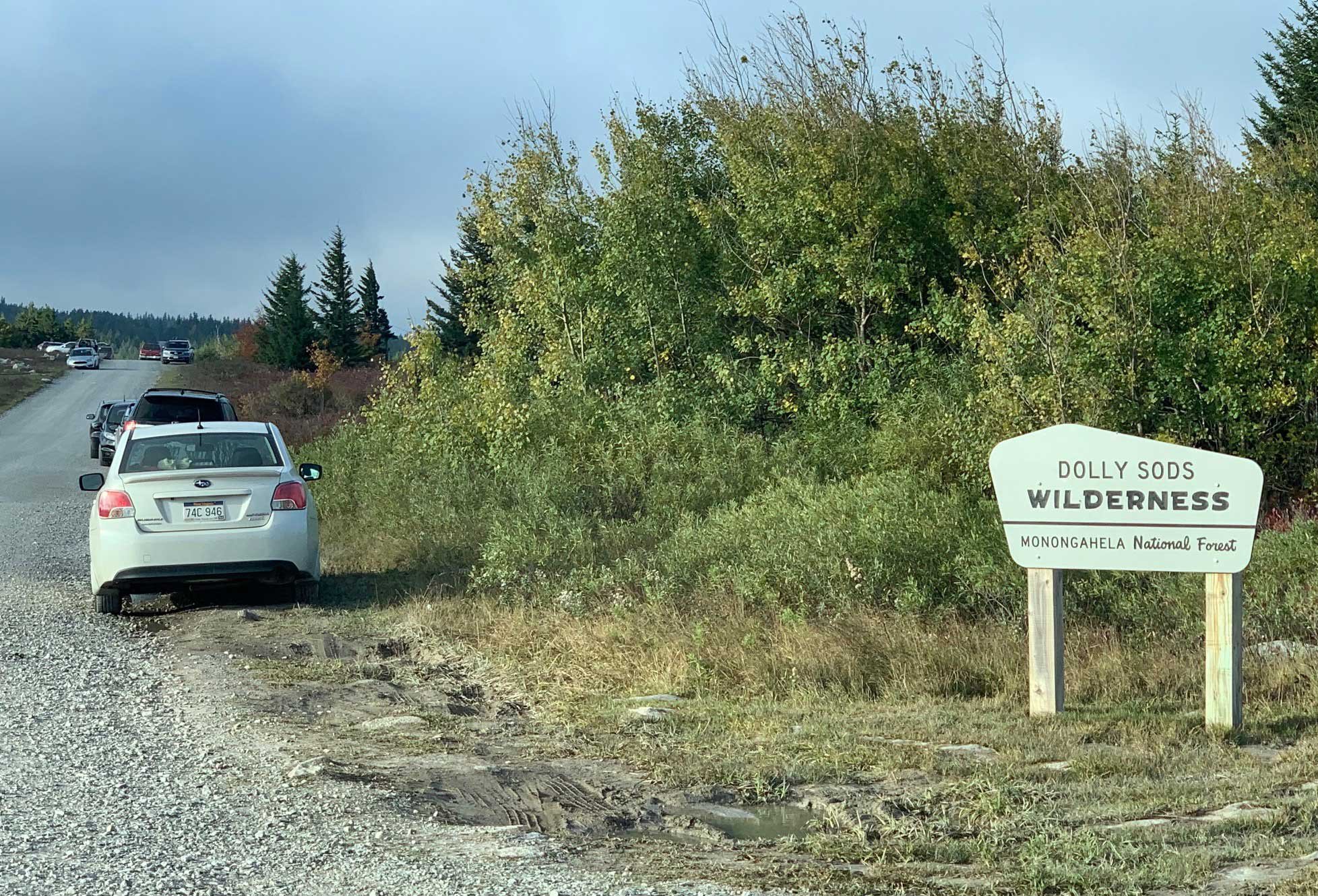
CLICK HERE to get driving directions to Dolly Sods
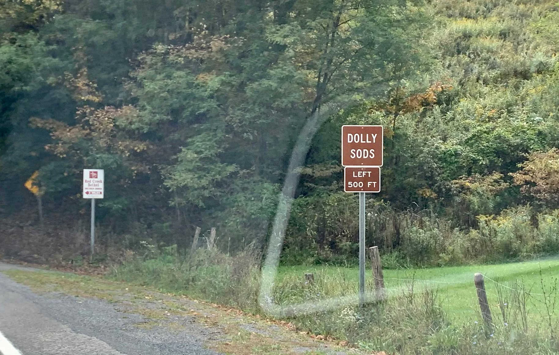
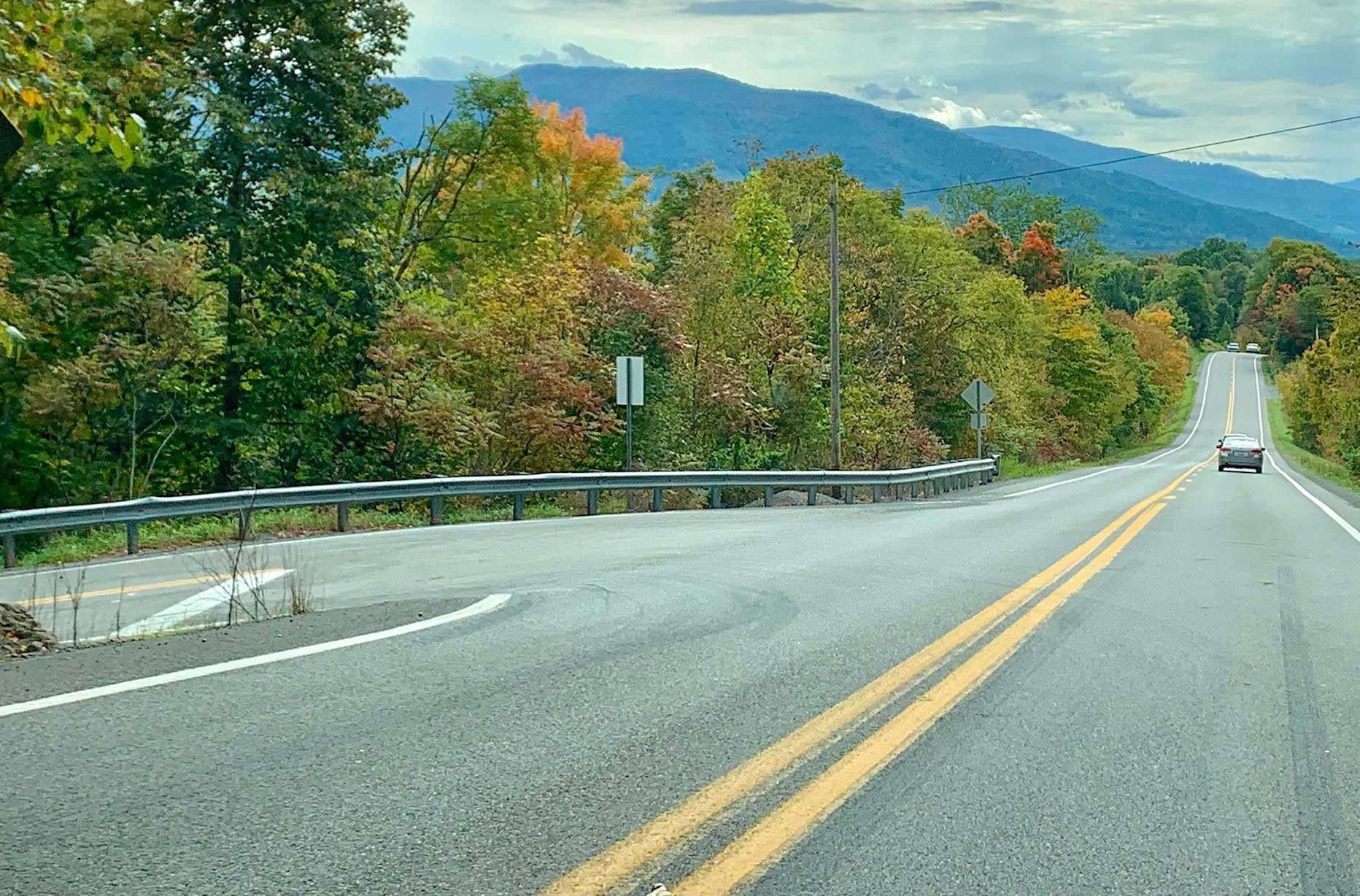
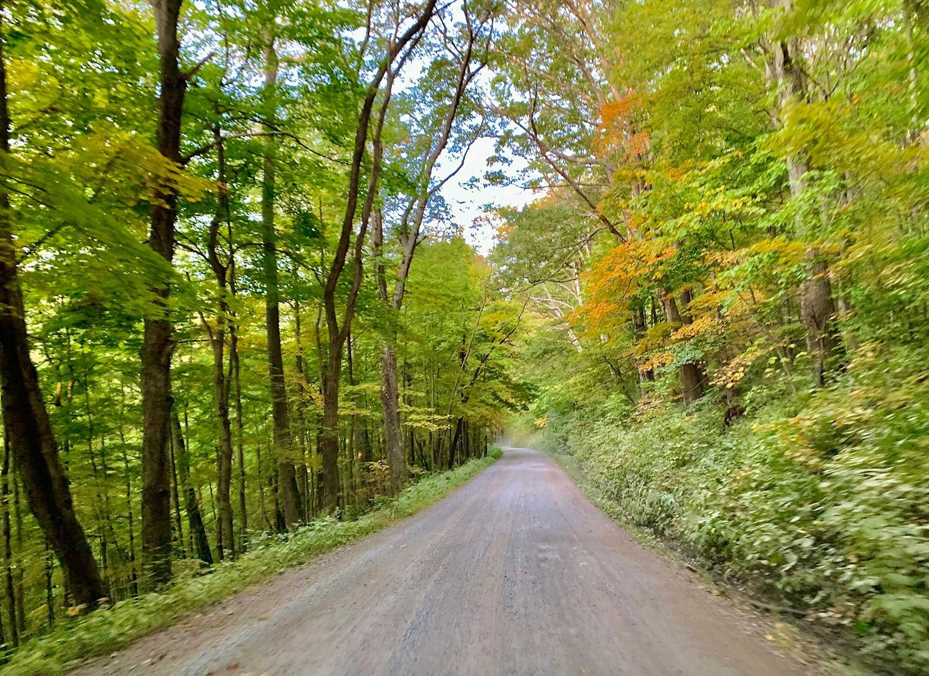
From Davis, W.Va - from where the bridge crosses the Blackwater River in Davis, W. Va., travel 11.1 miles south on Route 32. You will then take a hard, sharp left onto Lanesville Rd. There will be a small brown sign that points to the Dolly Sods Wilderness 500 ft. before the turn. You will stay on this winding road for 5.8 miles until you come to the parking area for the Red Creek Wilderness. At this point, the road passes through an open metal gate and turns to gravel. You will stay on this gravel road (Route 19/75) for 11.1 miles until you come to the Bear Rocks …
Equipment Needed
Tripod, Polarizing Filter and/or Graduated Neutral Density Filters
Weather
Download KMZ Trail File
Click Here to download the KMZ file for this location.
START YOUR NEXT ADVENTURE